
Image & Video Annotation Services
Pixel-accurate image labels and frame-by-frame video annotation for object detection, classification, segmentation and behaviour analytics.
Granular, consistent labels for computer vision
We provide granular, pixel-accurate image annotation that improves object detection, classification and segmentation.
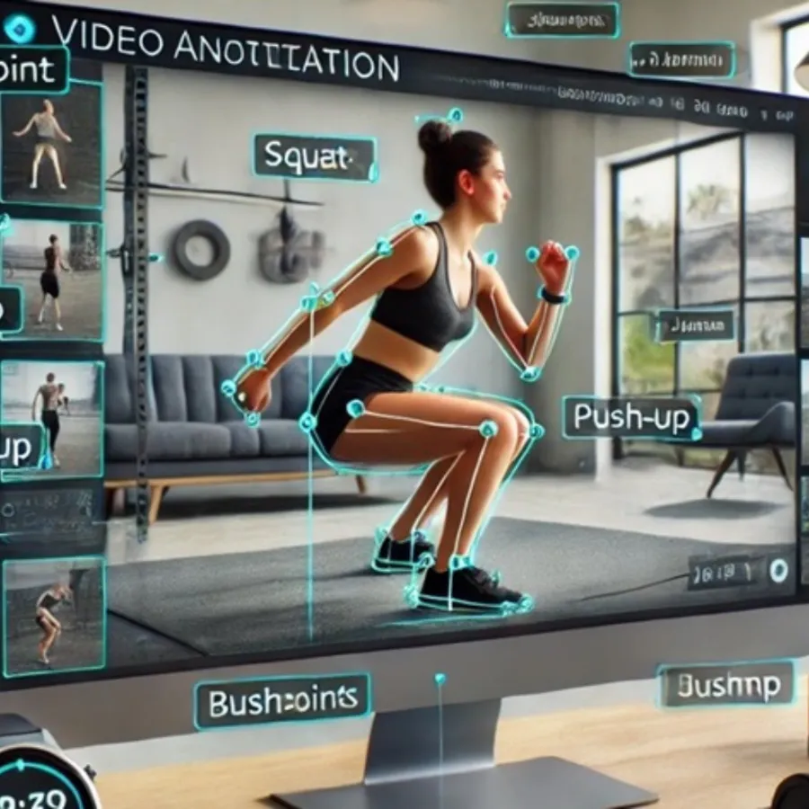
For video, frame-by-frame annotation decodes movement, interactions and behaviour within dynamic environments, from retail and security footage to traffic and sports video.
Used for
Capabilities
Image annotation
Precise labels for detection, classification and localisation.
- Bounding boxes
- Polygon annotation for complex shapes
- Semantic segmentation (pixel-wise)
- 3D cuboids for depth and volume
Keypoints & polylines
Structure and geometry labels.
- Keypoint and landmark annotation for pose and face
- Polyline and lane marking
- Infrastructure and mapping lines
Video annotation
Temporal labels across frames.
- Multi-frame object tracking
- Action recognition
- Event tagging for security and media
Aerial & satellite imagery
Geospatial computer vision.
- Building, road and land-cover labeling
- Change detection datasets
- Drone inspection imagery
How a project starts
Consultation & guidelines
We learn your project scope and annotation guidelines. We sign an NDA first if you need one.
Free pilot
A free, no-obligation pilot: up to 500 images, 10 minutes of video or 1 hour of audio, labeled to your guidelines.
Annotation & QA
Expert annotators, AI-assisted pre-labeling and blind cross-verification by a second QA team.
Delivery
Final datasets in your preferred format (COCO, YOLO, KITTI, GeoJSON, Pascal VOC or custom) on the agreed timeline.
Related services:
Frequently asked questions
What image annotation types do you offer?
Bounding boxes, polygons, semantic segmentation, 3D cuboids, keypoints and landmarks, and polylines and lane marking.
Do you annotate video?
Yes: multi-frame object tracking, action recognition, event tagging and lane and traffic analysis.
Can you annotate satellite and drone imagery?
Yes. Geospatial imagery is a core strength thanks to our GIS background.
Ready to see the quality for yourself?
Send us a sample of your data and guidelines. We'll annotate a free pilot batch so you can check accuracy and turnaround before you commit.