
GIS Services: From Data Engineering to Real-Time Spatial Intelligence
End-to-end GIS for utilities, telecom, transportation, smart cities, infrastructure and environmental agencies, delivered from India with a US support hub in Texas.
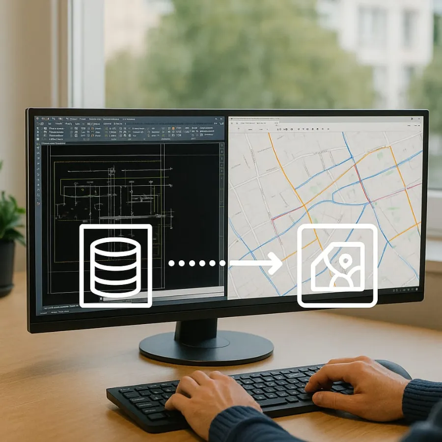
Spatial Data Conversion & GIS Migration
We migrate fragmented, legacy or analog data into modern GIS formats.
- CAD to GIS and raster-to-vector transformation
- Schema conversion and projection standardisation
- Digitisation of paper maps, PDFs and field sketches
- Legacy database migration to ArcGIS Geodatabases
- Topology correction, QA/QC and version control setup

Utility Network Modeling & Transformation
We engineer digital utility networks ready for automation, inspection and analytics.
- Asset modeling for electric, water and gas utilities
- Migration from Geometric Network to ArcGIS Utility Network
- Connectivity tracing, hierarchy creation, substation modeling
- QA pipelines for regulatory compliance and field-readiness
- Utility dashboards, schematic map books and outage maps
Location Intelligence & Geospatial Data Integration
Precision and consistency in address systems, logistics and planning applications.
- High-accuracy geocoding and address cleansing
- Geospatial enrichment for ERP, CRM and dispatch systems
- Geofencing for operational zoning, routing and logistics
- Cadastral data mapping and real-time reverse geocoding
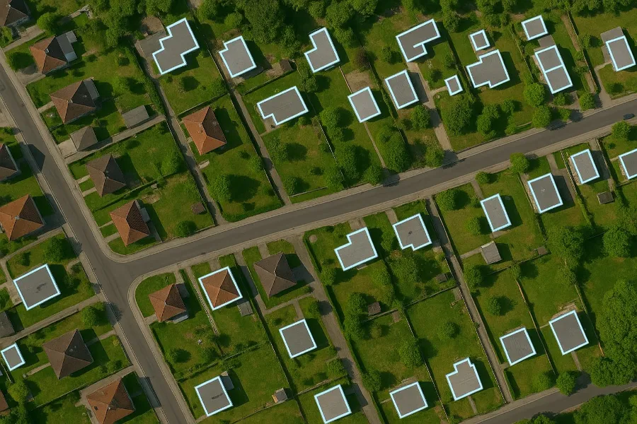

Cartography & Spatial Visualization
Make your data visible, interactive and business-ready.
- Zoning, thematic and land use maps
- ArcGIS Experience Builder and Dashboard implementations
- SDS/ISO-compliant map publishing
- Network schematics and spatial flow diagrams
- Batch map generation with scripting automation
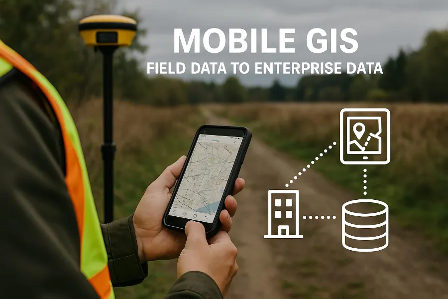
Mobile GIS & Field-to-Office Workflows
Accurate, real-time field data collection with offline/online synchronisation.
- Mobile data capture with Survey123, QField and Field Maps
- Inspection, validation and alert templates
- GPS-enabled asset tracking and inspection logs
- Secure sync to enterprise GIS with full audit trails
- Field data dashboards and lifecycle event reporting
Business-centric GIS outcomes
End-to-end engineering
From data capture to enterprise integration on a modern geospatial stack.
- ArcGIS Pro, QGIS, FME, Oracle Spatial
- Python and ArcPy automation
- Survey123, QField and Field Maps
Agile, scalable delivery
Teams sized to the job and run in sprints.
- 5-person pods for pilots
- 20+ certified professionals for large programs
- Sprint-based execution and reporting
Enterprise security & compliance
Data handled with care at every stage.
- NDA-backed engagements
- Access-controlled workflows
- Audit trails on field-to-office sync
Innovation through automation
Scripting and automation to cut cost and turnaround.
- Batch map generation
- Automated QA/QC and topology checks
- Reusable conversion pipelines
Frequently asked questions
What GIS services does Annova Technologies provide?
Spatial data conversion and GIS migration, ArcGIS Utility Network modeling, location intelligence and geospatial data integration, cartography and spatial visualisation, and mobile GIS field-to-office workflows.
Which GIS tools do you work with?
ArcGIS Pro, ArcGIS Utility Network, Experience Builder and Dashboards, QGIS, FME, Oracle Spatial, Python and ArcPy, and Survey123, QField and Field Maps for mobile data capture.
How are GIS projects staffed?
We start with a 5-person pod for pilots and scale to 20+ certified professionals for large programs, using agile, sprint-based delivery.
Which sectors do you serve?
Utilities, smart cities, telecom and fiber (FTTx), transportation and logistics, environment and natural resources, disaster response, public health and infrastructure engineering.
Have a GIS backlog or migration project?
Tell us about your data and target platform. We'll scope it and run a pilot so you can see the quality first.