
GIS Data Conversion & Migration Services
Fragmented, legacy and analog data migrated into clean, modern GIS formats with full QA/QC.
Clean, standardised GIS data
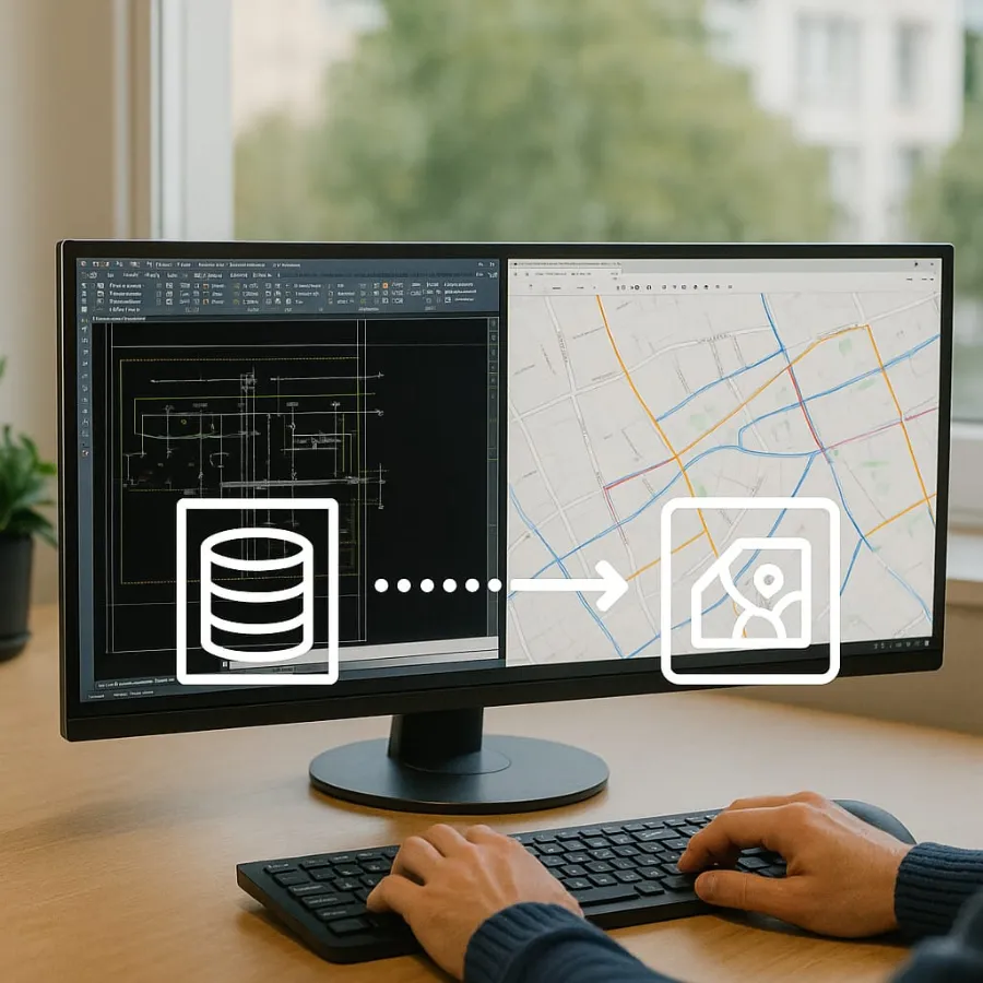
We specialise in migrating fragmented, legacy or analog data into modern GIS formats, with schema and projection standardisation built in.
Topology correction, QA/QC and version control setup mean the data is ready for analysis and enterprise use from day one.
Used for
Capabilities
CAD & raster conversion
From drawings and scans to structured GIS layers.
- CAD to GIS conversion
- Raster-to-vector transformation
- Georeferencing
Digitisation
Analog records brought into GIS.
- Paper maps and PDFs
- Field sketches
- Feature extraction from imagery
Schema & database migration
Standardised, enterprise-ready data.
- Schema conversion
- Projection standardisation
- Legacy database migration to ArcGIS Geodatabases
QA/QC
Accurate, consistent results.
- Topology correction
- QA/QC checks
- Version control setup
How a project starts
Consultation & guidelines
We learn your project scope and annotation guidelines. We sign an NDA first if you need one.
Free pilot
A free, no-obligation pilot: up to 500 images, 10 minutes of video or 1 hour of audio, labeled to your guidelines.
Annotation & QA
Expert annotators, AI-assisted pre-labeling and blind cross-verification by a second QA team.
Delivery
Final datasets in your preferred format (COCO, YOLO, KITTI, GeoJSON, Pascal VOC or custom) on the agreed timeline.
Related services:
Frequently asked questions
What formats can you convert to GIS?
CAD drawings, raster scans, paper maps, PDFs, field sketches and legacy databases, converted into ArcGIS Geodatabases or your target format.
Do you include QA?
Yes. Topology correction, QA/QC and version control setup are part of every conversion project.
Can we start small?
Yes. We run a pilot on a sample area so you can check accuracy before the full project.
Ready to see the quality for yourself?
Send us a sample of your data and guidelines. We'll annotate a free pilot batch so you can check accuracy and turnaround before you commit.