
Precision Annotation for Drone, Satellite and LiDAR Data
Annova Technologies delivers accurate, scalable annotation for image, video, audio, text and sensor data, backed by deep GIS and geospatial mapping experience.
Precision data labeling for geospatial, LiDAR and computer vision AI
Annova Technologies delivers accurate, scalable data annotation for image, video, audio, text and sensor data. Backed by years of GIS and geospatial mapping experience, our team builds high-quality training datasets for computer vision, autonomous navigation, NLP, speech recognition and geospatial intelligence.
From simple bounding boxes to complex 3D point cloud and multi-modal annotation, we help AI teams ship reliable models faster.
About Annova
Training data for every modality
Pixel-accurate labels, consistent guidelines and multi-stage QA, delivered in the format your models need.
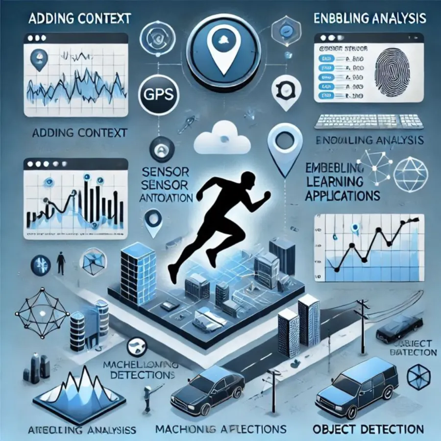
LiDAR & 3D Point Cloud
3D cuboids, point cloud segmentation, RADAR and infrared, and drone or aerial LiDAR.
Learn more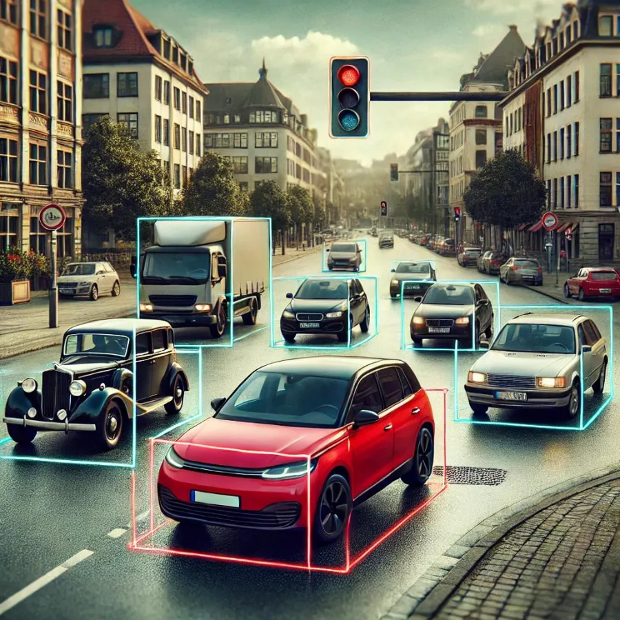
Autonomous Vehicles
Object detection, lane marking, tracking and sensor fusion data for perception teams.
Learn more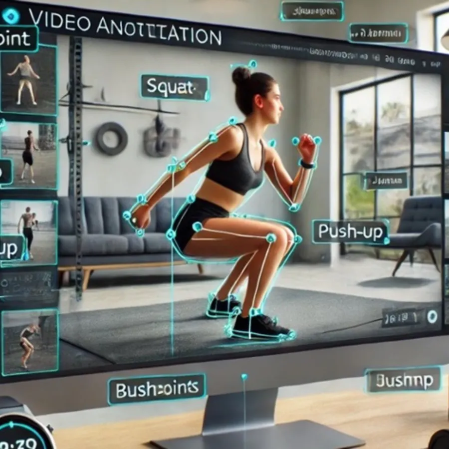
Image & Video
Bounding boxes, polygons, segmentation, keypoints, object tracking and event tagging.
Learn more
Audio & Text
Transcription, speaker diarization, NER, intent and sentiment, OCR and document labeling.
Learn moreDelivering geospatial intelligence for a connected world
We transform geospatial data into enterprise-grade intelligence for utilities, telecom, transportation, smart cities, infrastructure and environmental agencies, combining deep geospatial engineering with automation-first thinking and agile delivery.
“We don’t just build maps. We engineer geospatial ecosystems that connect data, people and decisions.”
Explore GIS Services
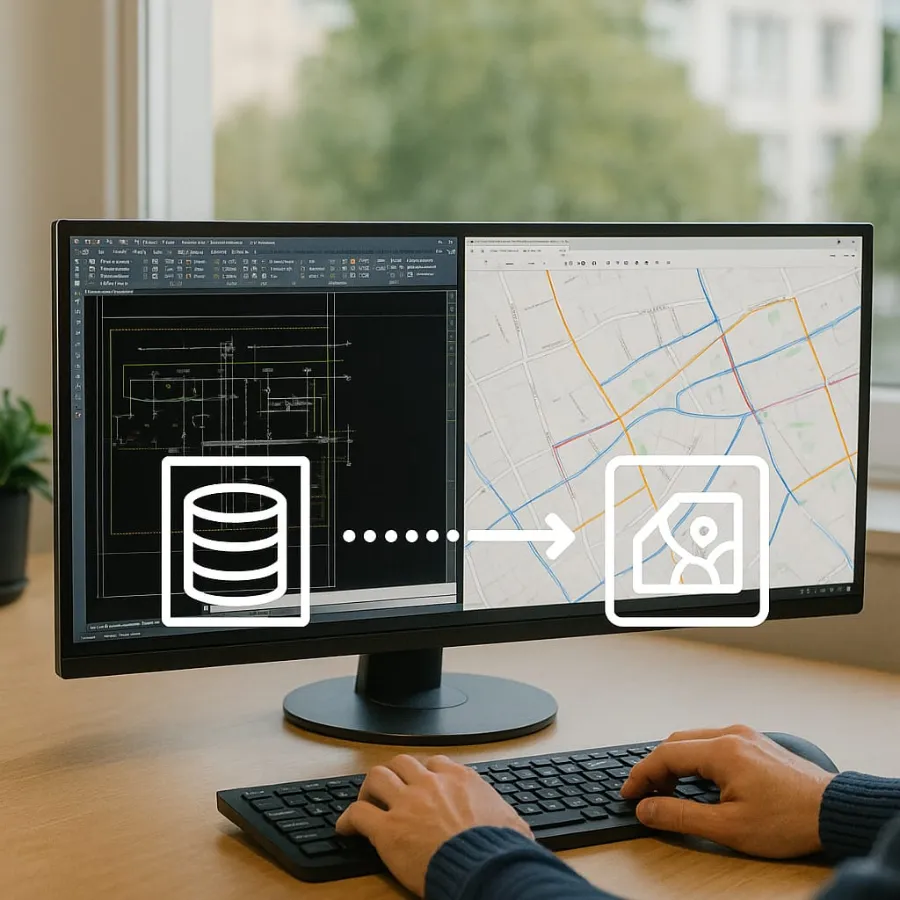
Data Conversion & Migration
CAD to GIS, raster-to-vector, paper map digitisation and legacy migration to ArcGIS.
Learn more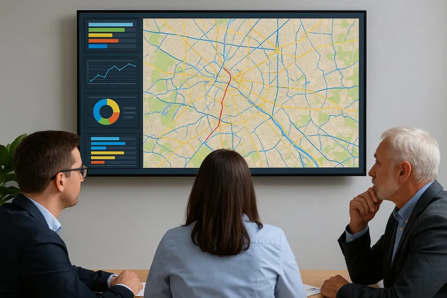
Utility Network Modeling
Electric, water and gas asset modeling and migration to ArcGIS Utility Network.
Learn more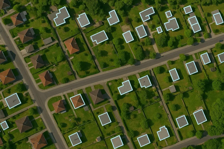
Location Intelligence
Geocoding, address cleansing, geofencing and geospatial enrichment for ERP and CRM.
Learn moreAI products, ready to deploy
Built on years of labelling speech, documents and geospatial data, our own AI products are ready for your team today. Each one starts with a free pilot or demo on your own data.
Annovox
An AI voice agent that calls your customers, holds natural two-way conversations in their language and hands interested callers to your team.
Explore AnnovoxPolicyAutopilot
Agents send policy PDFs on WhatsApp. PolicyAutopilot reads each one, checks it against the insurer’s QR code, flags mistakes and works out the commission.
Explore PolicyAutopilotFieldToGIS AI
Reads work orders, field sketches and as-built drawings, including handwritten notes, and turns them into a reviewed list of GIS-ready changes.
Explore FieldToGIS AIFrom free pilot to production in four steps
Consultation & guidelines
We learn your project scope and annotation guidelines. We sign an NDA first if you need one.
Free pilot
A free, no-obligation pilot: up to 500 images, 10 minutes of video or 1 hour of audio, labeled to your guidelines.
Annotation & QA
Expert annotators, AI-assisted pre-labeling and blind cross-verification by a second QA team.
Delivery
Final datasets in your preferred format (COCO, YOLO, KITTI, GeoJSON, Pascal VOC or custom) on the agreed timeline.
Industries we serve
AI training data and GIS solutions across 12 AI industries and 8 geospatial sectors.
Autonomous Vehicles
Training data for real-time object detection, path planning and obstacle avoidance.
View industries
Healthcare AI
Medical imaging annotation for radiology, pathology and diagnostics.
View industries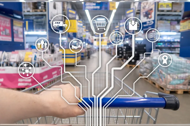
Retail & E-Commerce
Visual AI for recommendation engines, product recognition and demand forecasting.
View industries
Geospatial & Satellite Imaging
Annotating aerial and satellite imagery for urban development and environmental analytics.
View industries
Finance & Security
Document processing, fraud detection and biometric authentication datasets.
View industries
Media & Entertainment
Content tagging, scene and object detection, and transcription for media libraries and recommendations.
View industriesWhy AI and GIS teams choose Annova Technologies
- End-to-end data labeling: image, video, audio, text, LiDAR and geospatial data under one roof.
- Scalable teams: start with a 5-person pilot pod and grow to 20+ specialists.
- 3-layer quality shield: expert annotators, AI-assisted pre-labeling and blind cross-verification, targeting 99%+ accuracy.
- Customised workflows: we adapt to your taxonomy, tools and delivery format.
- API integration: we plug into your data pipeline and labeling platform.
- Data security: NDAs with all team members, secure data transfer and strict access controls.
- Any format: COCO, YOLO, KITTI, GeoJSON, Pascal VOC or custom, ready to use.
- Cost-effective: India-based delivery with a US support hub in Texas.
Frequently asked questions
What does Annova Technologies do?
Annova Technologies is a data annotation and GIS services company. We label image, video, audio, text and LiDAR/sensor data to train AI models, and we provide GIS services such as data conversion, ArcGIS Utility Network modeling, location intelligence, cartography and mobile GIS.
Where is Annova Technologies based?
Our headquarters and delivery team are in Tiruchirappalli (Trichy), Tamil Nadu, India, and we have a US support hub in Texas. We work with clients worldwide.
What is a free pilot, and how can I get one?
A free pilot lets you test our quality with zero risk. We annotate a small sample of your data (up to 500 images, 10 minutes of video or 1 hour of audio) according to your guidelines. Claim your pilot by contacting us and mentioning the code "PILOT".
How do you ensure the quality and accuracy of your annotations?
Our quality is safeguarded by a 3-layer quality shield. Expert annotation: domain-trained annotators who understand your project's requirements. AI-assisted pre-labeling: speed and consistency for large datasets. Blind cross-verification: every sample is independently reviewed by a second team of QA specialists to catch and correct errors. We strive for 99%+ accuracy on every project.
What annotation formats can you deliver?
We support all major annotation formats, including COCO, YOLO, KITTI, GeoJSON, Pascal VOC and custom formats. We deliver your data in the exact format your AI team needs, ready to use.
How quickly can you scale a project?
Projects start with a 5-person pilot pod and scale to teams of 20+ trained specialists, working in agile sprints. We handle anything from small batches to datasets of over one million items.
Ready to see the quality for yourself?
Send us a sample of your data and guidelines. We'll annotate a free pilot batch so you can check accuracy and turnaround before you commit.